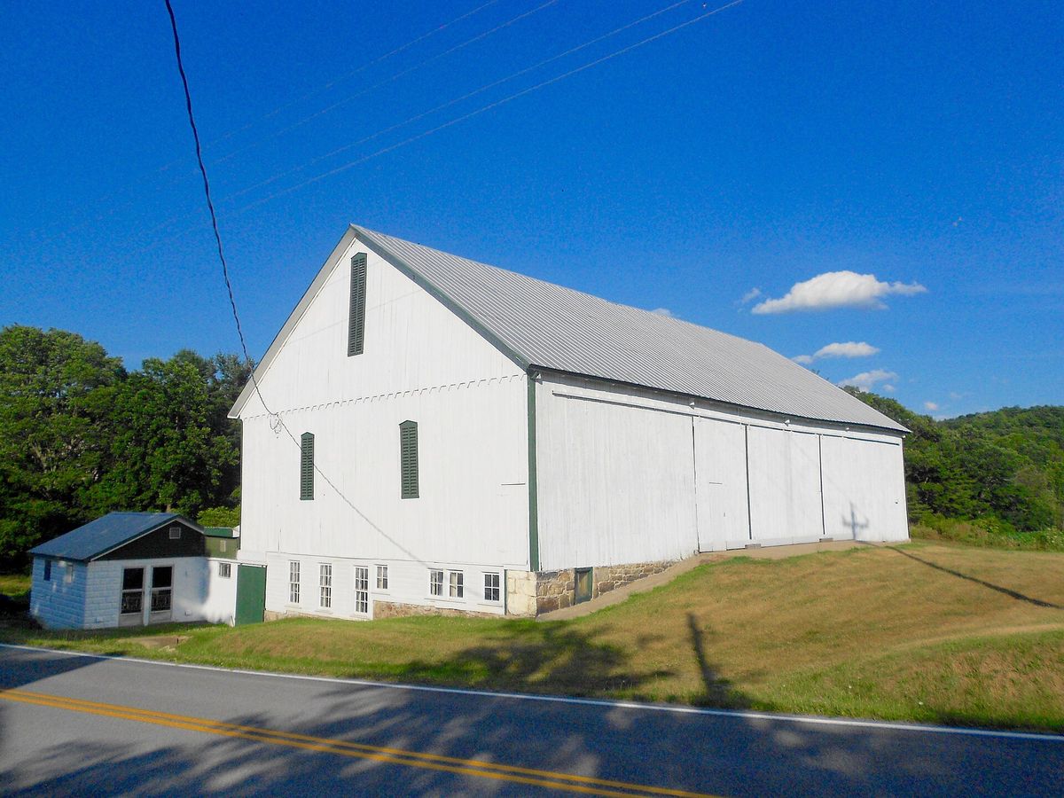
A barn in Tell township, photographed in July 2016 and released into the public domain outright. The record says nothing more than that, and neither will this page.
Township · Huntingdon County
3 stories on file, each with its sources. 42.6 square miles of land in the ridge and valley country of central Pennsylvania.
Tell, one of the southeastern border townships, was erected in April, 1810, its territory being taken from Dublin township. It lies between the Tuscarora and Shade tnountains and its surface is divided into several small valleys by parallel ridges running from northeast to southwest. Although a populous township there are no boroughs within its limits and only a few small villages. The first land warrant was issued to Barnabas Barnes on February 3, 1775. Among the early settlers were Samuel McMath, Robert Vaughan, James Stonkard, Thomas Morrow and Jacob Goshom, all of whom were located in the Shade valley by 1780. Between that time and the year 1800 came the Sharps, Wilsons, Chilcotts and the Cisney, Waters and Parsons families some of whose descendants still live in the township. Tell township is an agricultural community without a railroad, the nearest stations being Orbisonia and Shirleysburg on the line of the East Broad Top railway. John W. Jordan, ed., History of the Juniata Valley and Its People (New York: Lewis Historical Publishing, 1913) · character 202,654 of the scanned text
Quoted from a work published before 1929 and therefore in the public domain in the United States. Spelling and punctuation are as printed, including nineteenth century spellings of place names. Scanned text carries optical character recognition errors; the character offset is given so the passage can be found and checked in the original.
3 stories

A barn in Tell township, photographed in July 2016 and released into the public domain outright. The record says nothing more than that, and neither will this page.
From the county histories, on Tell township. The passage below is printed exactly as it appears in 1883, including the spelling of the day and the errors the scanner made. It has not been rewritten, summarised or added to.
The Quinns and Wagners were also early settlers in this locality. Along farther towards the southwest end of the township we find the families of Felmlee, Shorp, Wilson, Cisney, Waters, Parsons, Chilcote, Bollinger, and others, who located here from to 1820. Religious. , From the number of meeting-houses in Tell township used for religious purposes it would naturally be inferred that the spiritual welfare of the inhabitants had not been forgotten, however much it might have been neglected in after-years. For want of proper records we are unable to give date of organization of the societies or churches, names of pioneer members, or date of building the meeting-houses, except in one or two instances, and must content our366 PENNSYLVANIA. selves with giving merely the location of each. One of the United Brethren's Churches is located opposite the school-house, in the Parsons settlement, south part of the township. Adjoining the church is the burying-ground. Methodist Episcopal Church, located in the hamlet of Nossville, built in 1872. The old Union Church, north of Nossville, built in 1830, has not been occupied fora long time, and is fast going to decay. Mount Zion United Brethren Church, northwest of Blair's Mills, was built in 1852. W. B. McMullen, James Rhea, and Edward Roles are among its prominent members.J. Simpson Africa, History of Huntingdon and Blair Counties, Pennsylvania (Philadelphia: Louis H. Everts, 1883) · character 2,361,276 of the scanned text
Sources
From the county histories, on Tell township. The passage below is printed exactly as it appears in 1883, including the spelling of the day and the errors the scanner made. It has not been rewritten, summarised or added to.
Just where this tract was located, or whether Mr. Barnes settled have been unable to ascertain; however, many tracts of land are located by parties who never see the land or know anything of its value only through their agents. Among the pioneer settlers of what is now Tell township we find the following who located here previous to 1800: Sámuel McMath came to this township in the year 1780, and located in the valley near the mouth of Trough Spring Branch Creek, where several of his descendants still reside. John McMath, son of Samuel, located at the Ridge. Robert Vaughan located some time in or 1781, on the crest of which is the dividing line between Tell, Cromwell, and Shirley townships. These mountains ` Blair's Mills previous to 1790. ¡ by one mile wide. farm now owned by his son, Robert Vaughan, who is now an old man. Helocated northwest from what is now Blair's Mills. James Stonkard located near The farm is now owned by Mrs. James Orr. Thomas Morrow located here in 1784. He came with his father, Richard Morrow, who was grandfather Morrow, son of Thomas, and took up one hundred acres of land, now the property Blair. J. B. Morrow is now a resident of the hamlet of Blair's Mills. Robert Stonkard was one of the pioneers of this part of Tell.J. Simpson Africa, History of Huntingdon and Blair Counties, Pennsylvania (Philadelphia: Louis H. Everts, 1883) · character 2,358,438 of the scanned text
Sources
Where it sits