Mount Union borough
Bird's-eye view, 1906
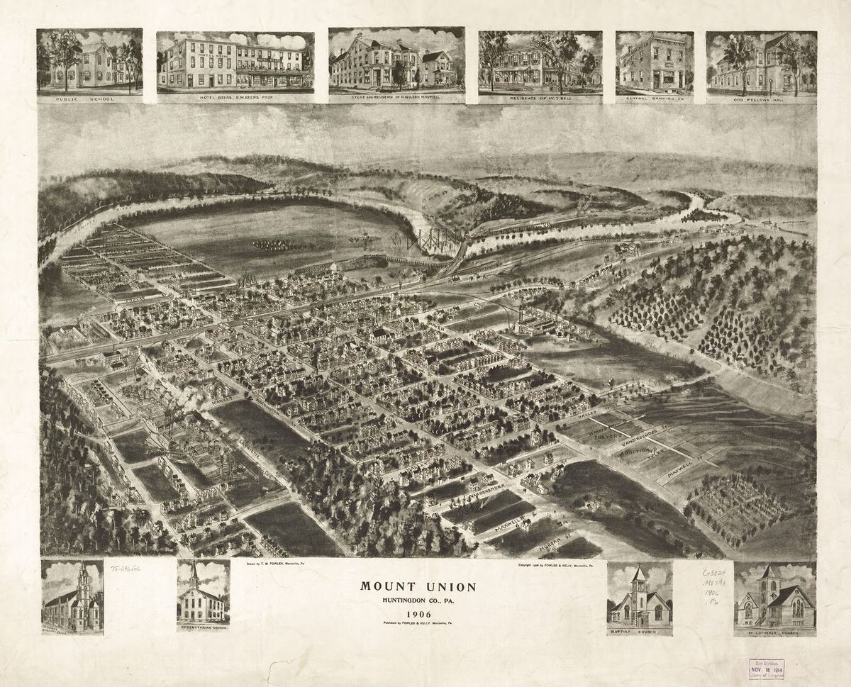

Mount Union in 1906, drawn from the air before airplanes, T. M. Fowler's bird's-eye map, made just as the brick boom ignited. Every street, mill, and church is here. In the decade after this was drawn, the town tripled in size.
Zoom in and find your house!
Sources
No source list was recorded with this item when it was written. It is shown here as written and has not been re-verified. Treat it as unverified until it has been.
Checked 2026-07-12 · Historic Mount Union collection
More from Mount Union borough
This stone house stands on West Water Street near Division. The federal survey records it as the John Sharrar House and…
Mount Union boroughThe Brick Office that Became the Red CrossLook at the sign in the yard. This little brick building on Market Street was the General Refractories Company office.…
Mount Union boroughAetna Explosion 1916Did you know? The building that killed six men at Mount Union had been catching fire all summer, and the paper reported…